Rinconada Canyon Hike
In Albuquerque Region
Map File Source: NG Topo
 Hike Key: H10368
Last Updated: 12/15/2020 12:00am
Last Updated By: Marilyn Warrant
Hike Class: A (Easy)
Hike Distance: 2.2 mi
Minimum Elevation: 5170 ft
Elevation Change: 115 ft
Total Uphill: 200 ft
Total Downhill: 200 ft
Avg. Grade: 4 %
Route Type: CW Loop
On Trail: No
Paved or Gravel Roads: Yes
GPS Advised: No
Drive Distance Round Trip: 25 mi
Drive Time One-Way: 0:15
Hiking Seasons: Spring, Fall, and Winter
New Mexico Game Unit: 9
Hike Status: Published
Highlights
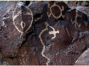
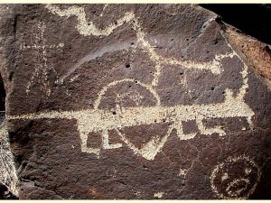
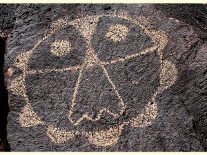
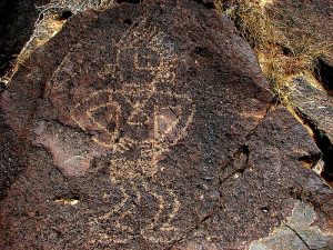
See more than 300 petroglyphs on the rerouted Rinconada Canyon trail.
CautionsNone.
Trailhead Directions
Option (1): In Albuquerque from the south take I-40 west to Unser Blvd. (exit 154). Go north on Unser about three miles to the trailhead at St. Joseph’s Avenue where there is a parking area on the left (west) side of Unser. Option (2): In Albuquerque from the north take Montano to the west side. Go south on Coors to Western Trail and go west to Unser. Go South on Unser for 0.8 miles to the St Josephs Ave Traffic light and turn right to PARK (0.0 mi).
Actual Hike
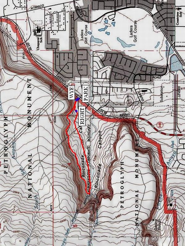
From the parking lot go a short distance on the trail to the WYE (0.0 mi). Go left at the wye and then RIGHT (0.1 mi). Hike west to the end of canyon. If you have lunch at the head of the canyon, it will be a very early lunch. Follow the trail back along the north face of the canyon toward parking. There are 300 petroglyphs in Rinconada, most of them along the north face, so you may spot a few. Stay on existing trails as you search for them.
Comments
This hike is on the Petroglyphs National Monument and it is a requirement to stay on the trail. Consider everything in this monument to be protected. Do not touch the petroglyphs you may find. Do not climb up the side of the canyon. This is a dead end canyon.
WaypointsPARK: N 35 07.623, W 106 43.511
WYE: N 35 07.638, W 106 43.523
RIGHT: N 35 07.642, W 106 43.645
Hike GPS File Name: RinconadaCanyonWayTrack_DBDB.gpx
Hike GPS File: Click link to download hike waytrack file
Text Author: Dick Brown
Map Author: Marilyn Warrant
Waypoints Author: Dick Brown
Track Author: Dick Brown
Maintainer: Dawn McIntyre
Editor: Marilyn Warrant
