Embudito Canyon Hike
In Sandia Mountain West Region
Map File Source: NG Topo
 Hike Key: H10161
Last Updated: 12/05/2023 8:57pm
Last Updated By: Marilyn Fixer
Hike Class: E (Most difficult)
Hike Distance: 7.9 mi
Minimum Elevation: 6232 ft
Elevation Change: 1407 ft
Total Uphill: 2450 ft
Total Downhill: 2450 ft
Avg. Grade: 15 %
Route Type: InOut
On Trail: Yes
Paved or Gravel Roads: Yes
GPS Advised: No
Hiker Limit (NF/BLM/NP): 15 (Sandia Wilderness)
Drive Distance Round Trip: 20 mi
Drive Time One-Way: 0:15
Hiking Seasons: Spring, Fall, and Winter
New Mexico Game Unit: 8
Hike Status: Published
Highlights
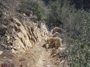
A challenging hike, with sandstone formations, wildflowers, views of Embudito Canyon and the city.
CautionsSteep with little pebbles, so hiking poles recommended.
Trailhead Directions
East on Montgomery past Tramway, north on Glenwood Hills, east on Trailhead Rd. PARK (0.0 mi) at the end of the road.
Actual Hike
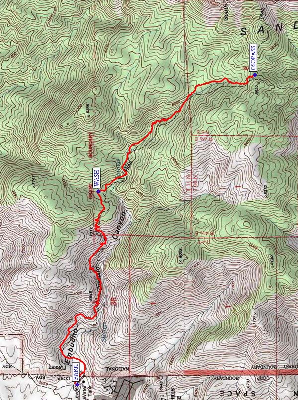
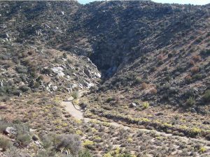
Hike eastward toward base of canyon on Embudito Tr. 192. The trail turns north to follow the southern slope south-easterly. The canyon starts out wide and covered with tall cholla. Then it turns to the south and then back to the east again. As it does it becomes very narrow and is faced with very steep and smooth rocks. After the WASH (2.2 mi), the canyon becomes shaded. Go as far as OSOPASS (3.9 mi), have lunch, and return the way you came.
Comments
Be sure to bring your hiking sticks for stability coming down the trail. The upper part of Embudito Canyon is beautiful, with large trees. Once you leave the trees, the trail is sunny and dry.
WaypointsPARK: N 35 08.161, W 106 28.922
WASH: N 35 08.033, W 106 27.466
OSOPASS: N 35 07.064, W 106 26.593
Hike GPS File Name: EmbuditoCanyonWayTrack_MWMW.gpx
Hike GPS File: Click link to download hike waytrack file
Text Author: Roger Holloway
Map Author: Marilyn Warrant
Waypoints Author: Marilyn Warrant
Track Author: Marilyn Warrant
Maintainer: Randy Simons
Editor: Randy Simons

