Tesuque Creek to Chamisa Trail Hike
In Sangre De Cristos Region
Map File Source: DeLorme
 Hike Key: H10010
Last Updated: 12/15/2020 12:00am
Last Updated By: Marilyn Warrant
Hike Class: C (Challenging)
Hike Distance: 8.3 mi
Minimum Elevation: 6988 ft
Elevation Change: 970 ft
Total Uphill: 1268 ft
Total Downhill: 1268 ft
Avg. Grade: 7 %
Route Type: InOut
On Trail: No
Paved or Gravel Roads: Yes
GPS Advised: Yes
Drive Distance Round Trip: 140 mi
Drive Time One-Way: 1:15
Hiking Seasons: Summer and Fall
New Mexico Game Unit: 44
Hike Status: Published
Highlights
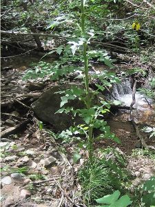
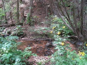
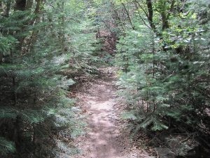
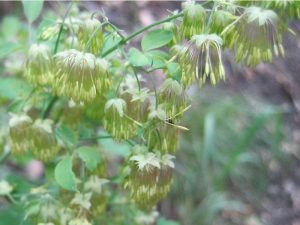
Aspen forest, wildflowers, and many crossings of a small stream. A cool hike for the summer.
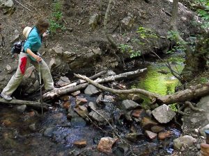
CautionsHiking poles are recommended for the stream crossings.
Trailhead Directions
I-25 north to Santa Fe. Take Exit 284. Follow Old Pecos Tr. (it veers to right at “Museums” sign) to Paseo de Peralta. Turn right. Follow Paseo de Peralta around a big sweep to the left to Bishop’s Lodge Road (big pink Scottish Rites Temple). In 3.5 miles, you will pass the entrance to Bishop’s Lodge. About 1 mile beyond this entrance, the paved road takes a sharp turn to the left. Don’t take this left turn. Take instead the road to the right, County Road #72A. Drive a short distance down this road until you come to a parking area on the right identified as trail parking (parallel).
Actual Hike
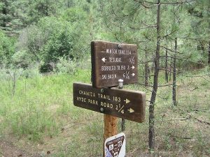
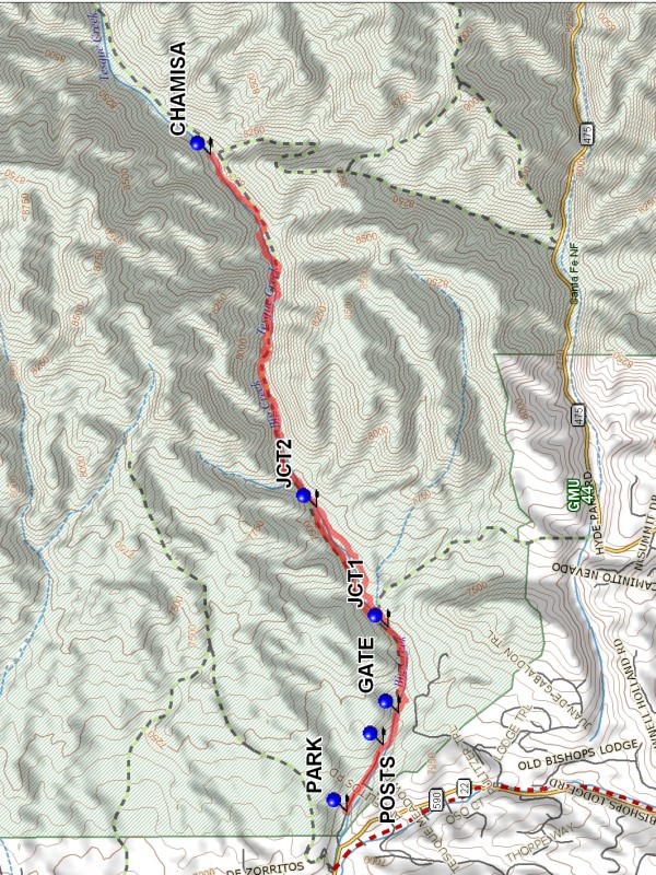
Walk a short way up the road to a rock pillar and three 5-ft wooden POSTS (0.4 mi). The trail begins immediately beyond the posts. The trail follows Big Tesuque Creek upstream. There are many stream crossings (15 of Tesuque Creek each way not counting the log bridge). Some crossings are on logs, others on rocks. Some hikers chose to just walk through the stream. Between JCT1 (1.0 mi) and JCT2 (1.8 mi) there are two options. The southmost option is steep and rocky. The trail eventually intersects the Chamisa Trail at CHAMISA (4.1 mi).
Comments
Actually this is the beginning of the Winsor Trail which ends near Pecos and intersects with Bear Wallow and Borrego Trails, as well as the Chamisa Trail. Don’t try this hike in the spring; the stream crossings may not be possible without getting wet (and the water may be colder than you’d like). A hiking stick helps maintain balance.
WaypointsPARK: N 35 44.593, W 105 54.872
POSTS: N 35 44.442, W 105 54.531
GATE: N 35 44.377, W 105 54.367
JCT1: N 35 44.422, W 105 53.926
JCT2: N 35 44.719, W 105 53.312
CHAMISA: N 35 45.160, W 105 51.503
Hike GPS File Name: TesuqueCreektoChamisaTrailWayTrack_MWMW.gpx
Hike GPS File: Click link to download hike waytrack file
Text Author: Roger Holloway
Map Author: Marilyn Warrant
Waypoints Author: Marilyn Warrant
Track Author: Marilyn Warrant
Maintainer: Marilyn Warrant
Editor: Howard Carr
