Bosque del Apache Tour Loop Trails Hike
In Socorro Region
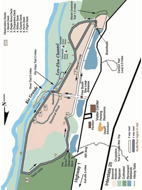
Map File Source: USFWS
 Hike Key: H10275
Last Updated: 06/29/2021 12:00am
Last Updated By: Marilyn Warrant
Hike Class: B (Moderate)
Hike Distance: 5.5 mi
Minimum Elevation: 4500 ft
Elevation Change: 200 ft
Total Uphill: 200 ft
Total Downhill: 200 ft
Avg. Grade: %
Route Type: Loop
On Trail: Yes
Paved or Gravel Roads: Yes
GPS Advised: No
Drive Distance Round Trip: 200 mi
Drive Time One-Way: 2:30
Hiking Seasons: Spring, Summer, Fall, and Winter
New Mexico Game Unit: 20
Hike Status: Published
Highlights
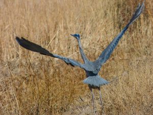
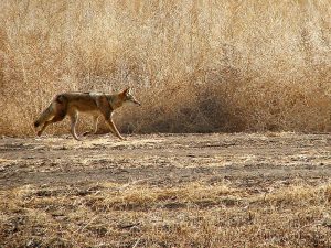
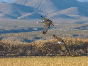
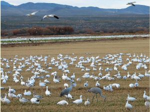
Thousands of sandhill cranes and snow geese migrate through here in late fall and winter. Hawks and eagles also are plentiful. Several short hikes for wildlife viewing.
CautionsBring binoculars.
Trailhead DirectionsTake I-25 to Socorro. From Socorro, drive eight miles south on I-25 to exit 139, continue east one-fourth mile on US 380 to the flashing signal at San Antonio, turn right onto Old Highway 1, continue south nine miles to the Visitor Center.
Actual HikeThe hike is really three hikes: the River Trail (2 mi.), the Rio Viego Trail (2 mi.), and the Marsh Overlook Trail (1.5 mi.), done as part of the loop tour of the Bosque del Apache. See the Friends of the Bosque del Apache website.
CommentsThe Bosque del Apache is part of the National Wildlife Refuge System. There’s a $5 fee per passenger vehicle. Bring along your Golden Age Passport, just in case there’s a discount when you go.
WaypointsPARK-Visitor Center: N33 48.275, W106 53.490
Map Filename: BosquedelApacheTourLoopTrailsImage_JS.JPGHike GPS File Name: BosqueDelApacheWaypoints.gpx
Hike GPS File: Click link to download hike waytrack file
Text Author: Judie Schwartz
Map Author:
Waypoints Author: Marilyn Warrant
Track Author:
Maintainer: Cathy Intemann
Editor: Marilyn Warrant
