Petroglyphs South to Boca Negra Hike
In Albuquerque Region
Map File Source: DeLorme
 Hike Key: H10209
Last Updated: 12/15/2020 12:00am
Last Updated By: Marilyn Warrant
Hike Class: B (Moderate)
Hike Distance: 6.6 mi
Minimum Elevation: 5205 ft
Elevation Change: 50 ft
Total Uphill: 470 ft
Total Downhill: 470 ft
Avg. Grade: 4 %
Route Type: InOut
On Trail: No
Paved or Gravel Roads: Yes
GPS Advised: Yes
Drive Distance Round Trip: 30 mi
Drive Time One-Way: 0:15
Hiking Seasons: Spring, Fall, and Winter
New Mexico Game Unit: 9
Hike Status: Inactive
Highlights
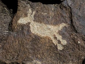
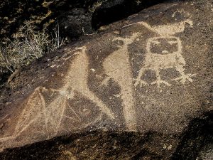
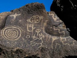
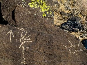
The hike offers excellent views and a chance to see petroglyphs not visible on established park trails.
INACTIVATED DUE TO INACCURATE MILEAGE, CLASS AND GPX TRACK. LOOK FOR NEW HIKE IN PROCESS PIEDRAS MARCADAS TO BOCA NEGRA AS SUBSTITUTE
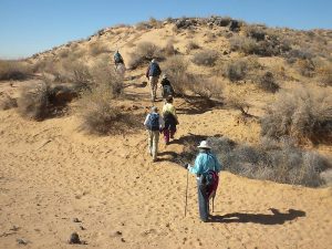
Hiking sticks recommended; walking in sand.
Trailhead Directions
Take Paseo del Norte west across the river and turn right on Golf Course. Turn left at Paradise Blvd. and then left on Justin Drive. Continue to the end of Justin and PARK there beside but not blocking a gate leading into the park.
Actual Hike
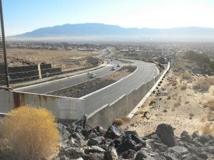
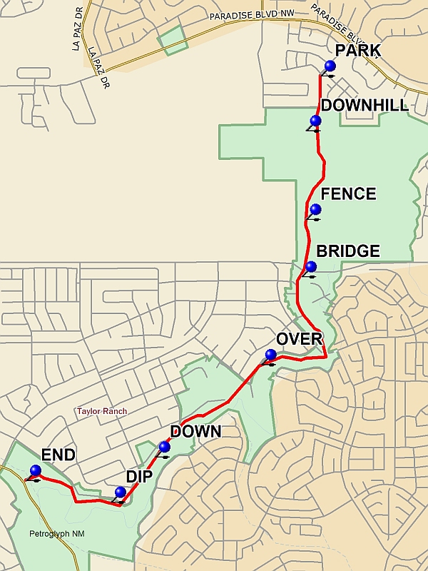
Hike south through the gate; turn west and follow a path along the top of the escarpment. Descend into Piedras Marcadas Canyon at DOWNHILL and cross the canyon towards the southeast. Enter the next canyon east and detour east and north along the escarpment to see large groups of petroglyphs. Return to the pass between the two canyons and climb up out of the canyon. Follow a FENCE and continue toward BRIDGE over Paseo del Norte. South of a gate at Calle Nortena there are interesting petroglyphs at the base of the escarpment. Soon after that, climb OVER a fence and hike along the top edge of the escarpment, passing through an arroyo. Descend to see petroglyphs at DOWN and at DIP. Turn around at END and return to the starting point.
Comments
Much has changed since Roger Holloway developed this hike in 2005: completion of Paseo del Norte and Unser Boulevard, several new housing developments and a major infrastructure project. It is now important to remain within Petroglyph National Monument boundaries throughout the hike.
WaypointsPARK: N35 11.573, W106 41.900
DOWNHILL: N35 11.340, W106 41.975
FENCE: N35 10.965, W106 41.975
BRIDGE: N35 10.722, W106 41.998
OVER: N35 10.350, W106 42.208
DOWN: N35 09.958, W106 42.759
DIP: N35 09.766, W106 42.987
END: N35 09.859, W106 43.427
Hike GPS File Name: PetroglyphsNorthFromBocaNegraWayTrackAll1_BS.gpx
Hike GPS File: Click link to download hike waytrack file
Text Author: Roger Holloway
Map Author: Marilyn Warrant
Waypoints Author: John Boyd
Track Author: John Boyd
Maintainer: Dawn McIntyre
Editor: Howard Carr
